Plan routes and rally your crew on the web — then ride them offline with turn-by-turn navigation and a voice intercom that doesn't need a single bar of signal.
Everything you plan on the web, out where the pavement — and the signal — ends. Native iPhone and Android companions built for the ride, not the desk.
The offline navigatorCrew voice comms, no signal neededTurn-by-turn, wake-on-motion
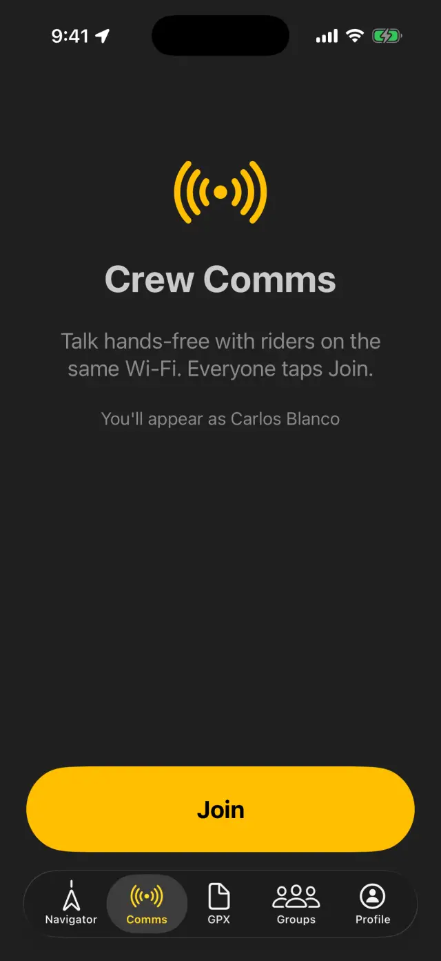
Crew voice comms
An open-mic intercom for the whole crew — a Cardo in your pocket. Your phones find each other and connect directly: no cell coverage, no servers, nothing to dial. Full-duplex voice on the Opus codec that shrugs off phone calls and reconnects on its own — and you can join straight from the car screen.
Offline Navigator
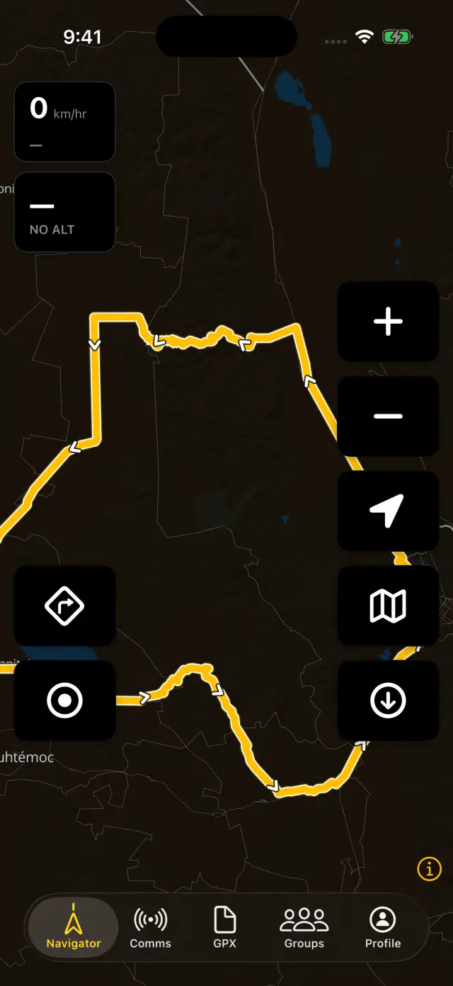
A fast, native map that keeps working with zero bars. Download the terrain before you ride and never watch a blank tile again.
Turn-by-turn navigation
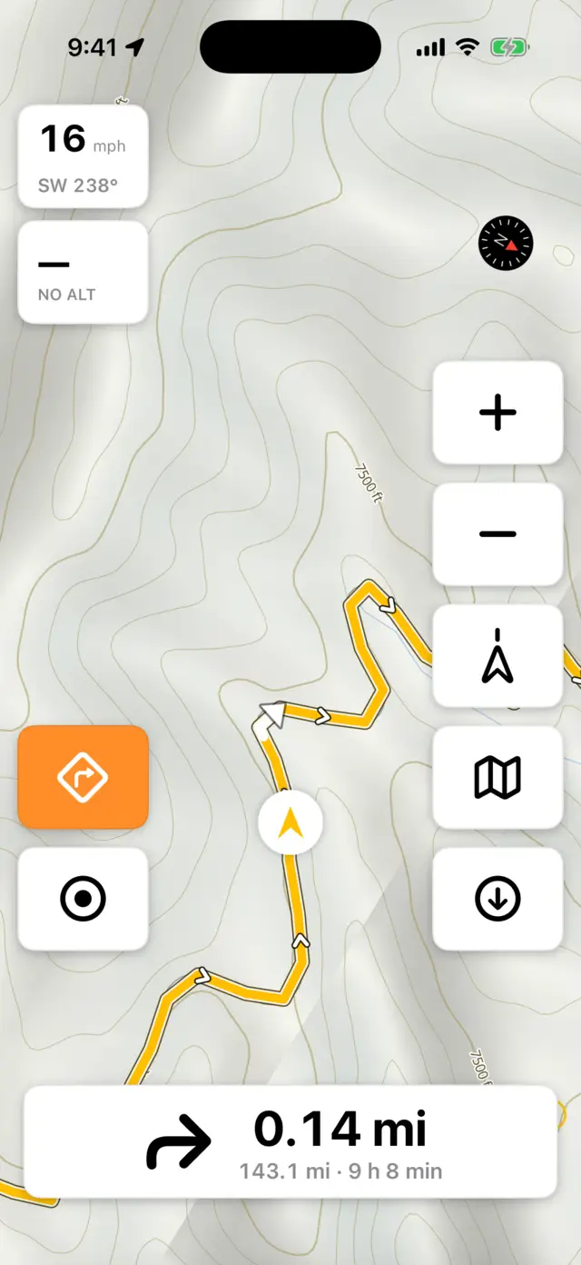
Load a route and go. Navigation wakes up when you start moving, reads the turns ahead, and warns you the moment you drift off-track.
Routing that prefers the dirt
Curvy-routing apps optimise how much a road bends and know nothing about its surface — that's how you end up on a farm track you never asked for. ADVx weighs the surface itself: paved, gravel, dirt, sand, how rough. Five profiles from Road Fast to Extreme, computed on the phone with no signal at all.
Downloadable map regions
600 regions across 87 countries, picked automatically for wherever you are — plus terrain & detail packs that add hillshade, contour lines, and an ADV surface overlay. A worldwide base map means the globe is never blank. Free riders download three new regions a month (updates are always free); ADVx Pro removes the limit.
Ride a loop
No destination in mind, just a free afternoon? Pick a budget — by distance, or by time, which most planners won't take — and ADVx builds a round trip from where you're standing back to the same spot, with your routing profile deciding how much dirt it hunts for. Loops are ranked for roundness before you see one, and it works on the phone and on both car screens.
Weather, planned and live
Hour-by-hour forecasts along your tracks and planner routes, timed to your departure — and while you ride, severe weather where you are or on the line ahead drops a banner over the map. Part of ADVx Pro.
Background ride recording
Records speed, elevation, grade and accuracy while your phone's in your pocket or locked. Pause and resume anytime — the stats stay honest.
Shareable ride cards
Finish a ride and get a card worth posting — elevation profile, headline stats, and your best photos laid out automatically.
Day and night, by the sun
While you ride, the map follows the actual sun — light after sunrise, dark after sunset. No squinting at a bright screen on a dusk descent.
CarPlay & Android Auto
On four wheels? The navigator moves to the dash — offline map, turn cues, and recording controls on the car's screen, pan and zoom from the head unit, and crew comms one tap away without touching the phone.
The web platform
Plan it before you ride it
Upload, draw, and organize routes with your crew — every ride starts in the browser.
GPX Track Management
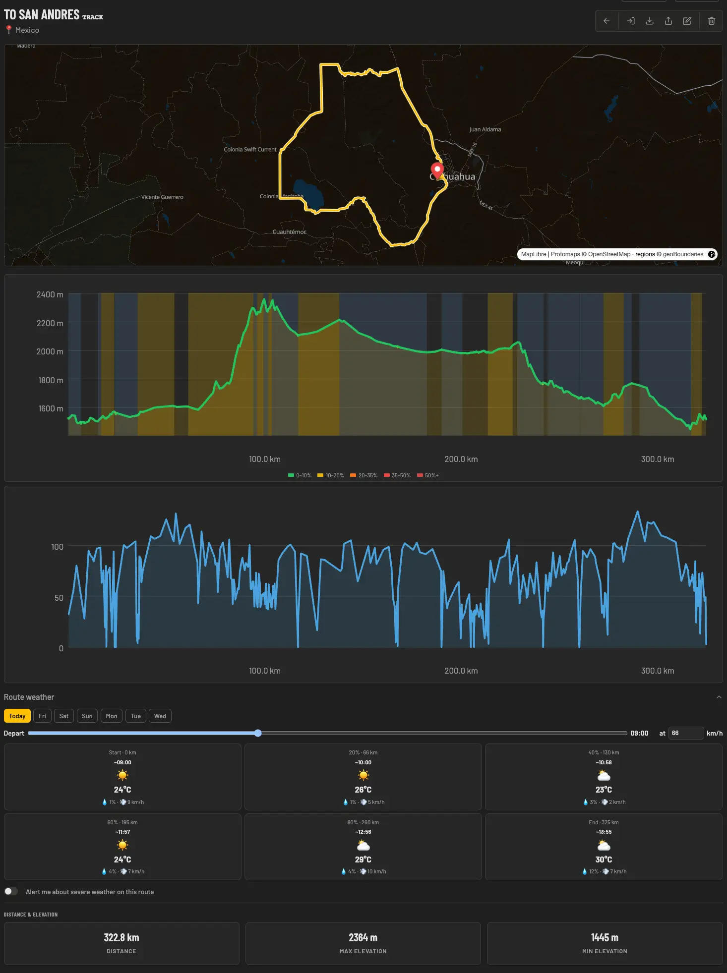
Upload your routes and get instant distance, elevation, and duration stats alongside a full interactive map. Your file comes back exactly as you sent it — download returns your original bytes, never a re-export, never a route quietly flattened into a track.
GPX Planner
Draw point by point, or flip on Follow roads and every click snaps to the road and track network — routed right in your browser, with the same five profiles the apps ride. Generate round trips to a distance or time budget, tilt the map into 3D terrain, merge and simplify tracks — with a live elevation profile and drafts that save themselves.
Waypoints
Pin the spots that matter — campsites, fuel stops, water sources, technical sections. Yours and your groups' show up right on the dashboard map, and the intel rides along in the apps.
Riding Groups
Create a group, invite your crew, and share tracks directly with them. No more links buried in a chat — everything lives in one place.
Ride Memories
Attach photos to your GPX tracks and keep a visual record of every trail, summit, and adventure. Your routes, your story.
Public Rider Profiles
A profile page that rides for you — your featured map as the cover, a ride résumé of total distance, climb, and countries, and a link that unfurls beautifully anywhere you share it.
A 322 km day in the Sierra — map, elevation profile, and stats on one page
We use essential cookies to keep the site working, and optional analytics cookies (Google Analytics) to understand how it's used. No personal data is sold.